Haines Alaska to Johnson Crossing
Day 11
We headed south out of Haines Junction towards the sea port of Haines, which had some of the best scenery of the trip.
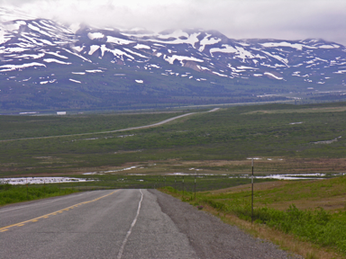 The road headed up above the tree line with snow-capped mountains on both sides, one of the lakes still covered in ice. The summit was only 3,000 feet.
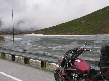
After the summit, we headed down and just past the U.S. customs while the temperature came way up as we came down. You could smell, as well as see, the lush coastal forests.
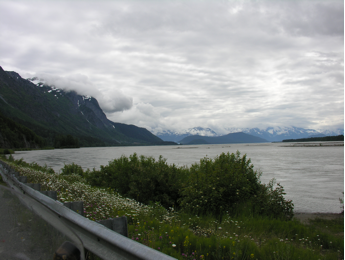
The road now followed the twists of a wide river to Haines. At times, the road is hung on the mountain just above the water line. As you come down the main road of town, the view is spectacular, with the salt water held in by towering mountains reaching well past the tree lines to snow on the tops to a blue sky.
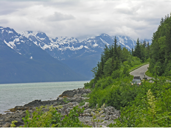
Even the road to the ferry just east of town is wonderful. From here, we took a short ferry ride to Skagway. This town was full with four cruise ships in port and all campsites full.
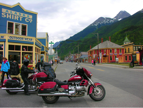
It was wall-to-wall people and jewellery stores. We would have stayed the night but there were no rooms anywhere, so after a while we headed out. Up the Whitehorse Valley we went, which at the time was under construction and gravel to the top. We crossed a cantilever bridge near the top that crosses a fault line that sees tremors quit often. Going up and away from the coast meant going from warmer coastal weather to cold mountain temperatures again. We followed along Green Lake and back into B.C. We turned right at Carcross in the Yukon on #8, which was gravel on the map but turned into the best pavement yet. Still, no road we were on was straight or flat. This day we saw a very large grizzly and a black bear with a cub. We end another long day by camping at Johnson’s Crossing around 10:30, finding no motels along the way.